A Geo extension of the YASGUI SPARQL client for handling OGC compliant geometries
The environmental act team extended the YASGUI SPARQL client, a Javascript based feature-packed user-friendly interface to access any SPARQL endpoint, with a novel Geo tab that handles spatial geometries in Linked Data.
YASGUI already provides syntax checking and highlighting, assists you by autocompleting your prefixes, properties, classes, and endpoints, and allows you to bookmark queries. It shows results, among others, as pivot tables and Google charts.
Due to the development in the UX Linked Data Challenge, the client now automatically detects open standard (OGC-compliant) geometries in SPARQL result sets, including points, lines and polygons, and visualizes them on a map.
Where Linked Geo Data developers used to tediously write one-off scripts that plot geo results on a map, this is now possible in a generic fashion, right from the YASGUI SPARQL editor, and on any SPARQL endpoint that contains geographical data. As such it provides a generic means to browse and explore Geo-oriented Linked Datasets.
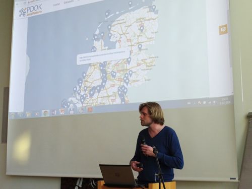
The success of this YASGUI extension and the improvements it brings to UX and Linked Geo Data, are corroborated by Kadaster who now use this in production at https://data.pdok.nl/yasgui.


