Linked Data Seminar 2 December 2016 Photo Impression
Back to the main page
Introduction[bewerken]
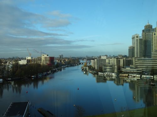
Our view from the Waternet office

Last preparations before the event
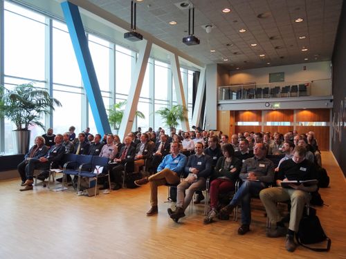
The audience at the Waternet office

A warm welcome by Ann Loogman (Waternet)

A slide with the supporting organizations of Platform Linked Data Netherlands (PLDN)
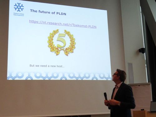
Next year is our 5 year anniversary, but we need a new host…
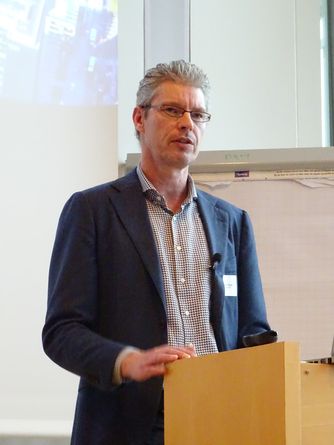
Timon Knigge (Waternet) about the use of the Object Type Library (OTL) in their projects
Block Spatial Data Applications[bewerken]
Go to the top of the page
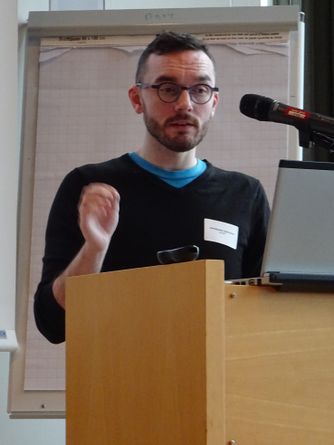
Christophe Debruyne (ADAPT) about Serving Ireland's Geospatial Information as Linked Data

Erwin Folmer (Kadaster) and Christophe Debruyne (ADAPT)
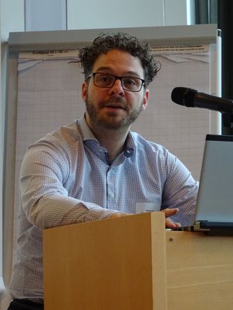
Raf Buyle (Informatiepunt Vlaanderen) about Linked base registries as a key enabler for eGovernment in Flanders

Raf Buyle (Informatiepunt Vlaanderen)
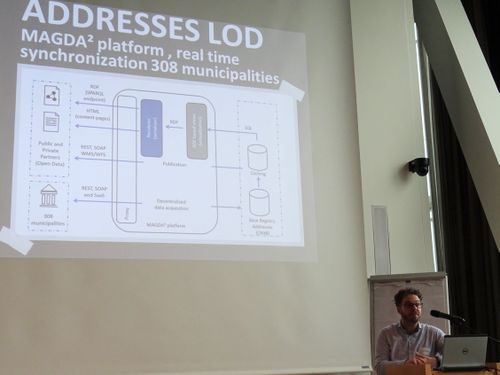
Raf Buyle (Informatiepunt Vlaanderen)
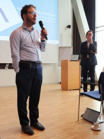
Raf Buyle (Informatiepunt Vlaanderen) and Erwin Folmer (Kadaster)

Many Linked Data experts from our community work on projects for the organizations involved in PLDN (the community is therefore a very good source for finding experts)
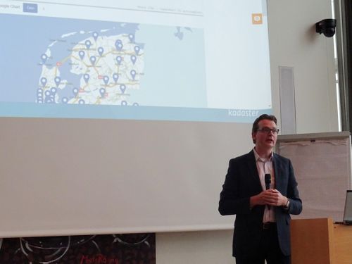
One of the results of our community is the Geo Linked Data functionality now available in YASGUI and soon also available in PDOK
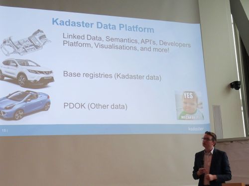
What the Kadaster Data Platform is about
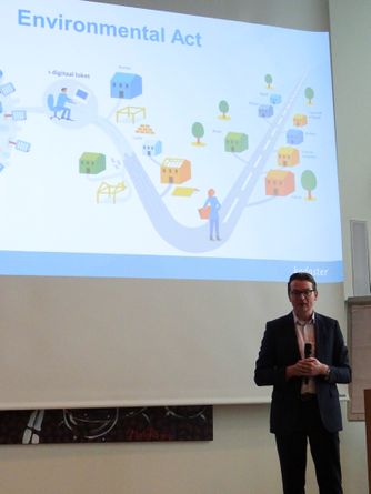
Environmental Act projects can connect data in a meaningful and efficient way using Linked Data
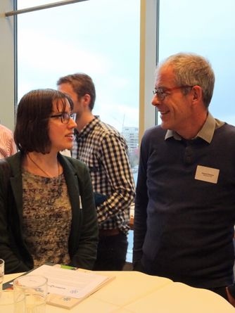
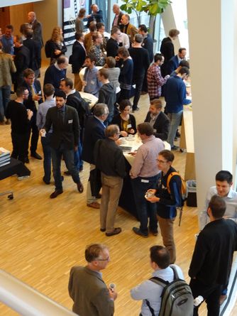
Good conversations during the break
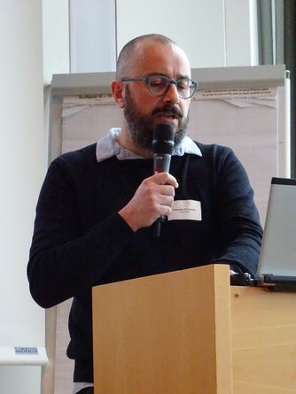
Pasquale Di Donato (Swisstopo) about Linked data in the swiss federal data infra
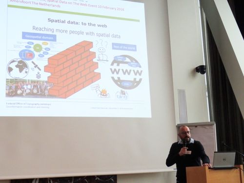
Pasquale Di Donato (Swisstopo)
Good interaction with the audience
Block Linked Data for Heritage & Archives[bewerken]
Go to the top of the page
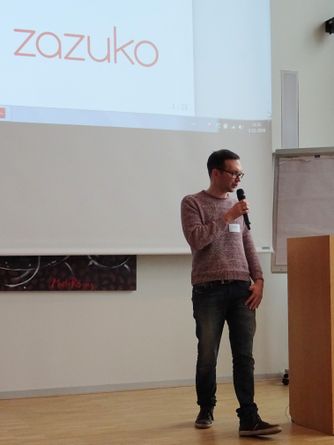
Adrian Schwenk (Zazuko) about Archival Linked Open Data

Richard Zijdeman (IISG) about If walls could talk, constructing buildings' biographies
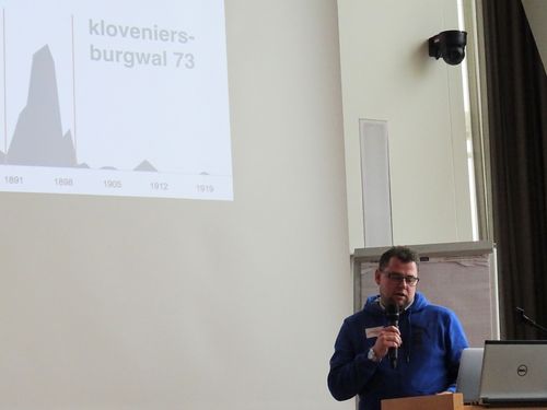
Richard Zijdeman (IISG) showing timelines for buildings connected to available data sources

Richard Zijdeman (IISG) showing us tools like QBer and inspector
Miel vander Sande (iMinds/University of Ghent) about HDT, Triple Pattern Fragments, and Memento: A Sweet Combo for Linked Data Archives
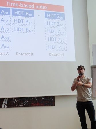
Miel vander Sande (iMinds/University of Ghent)
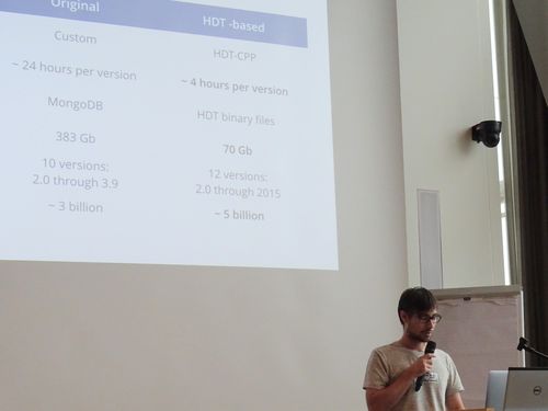
Miel vander Sande (iMinds/University of Ghent)
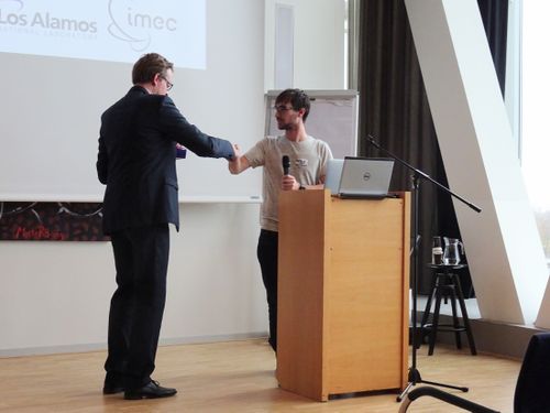
Erwin Folmer (Kadaster) and Miel vander Sande (iMinds/University of Ghent)

More good conversations during the next break
Block UX, Best Practices, Tools & Demos[bewerken]
Go to the top of the page
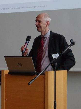
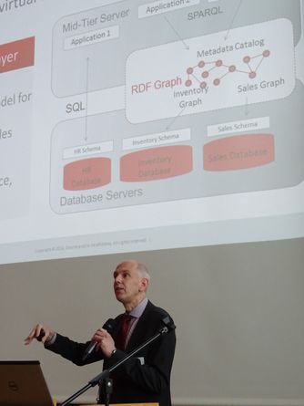
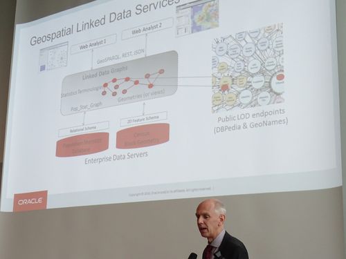
Hans Viemann (Oracle) about GeoSPARQL Support and Other Cool RDF Graph Capabilities in Oracle
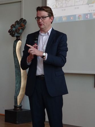
Next announcement by Erwin Folmer (Kadaster)
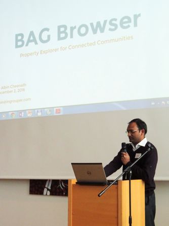
Albin Cheenath about the BAG Browser
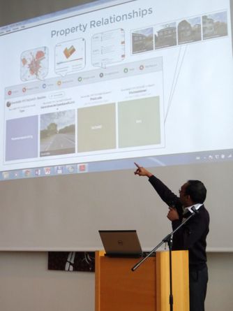
Great functionality using the available BAG data
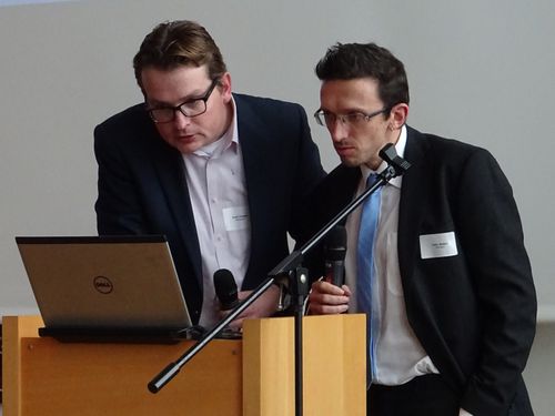
Erwin Folmer (Kadaster) and John Walker (Semaku)
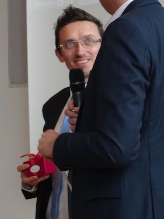
John Walker about the geneology project they have done with Cubiss and Bankai
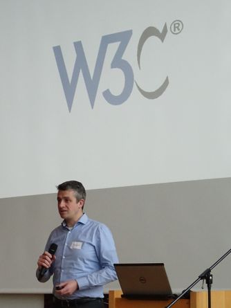
Bart van Leeuwen (Netage) giving us a W3C update
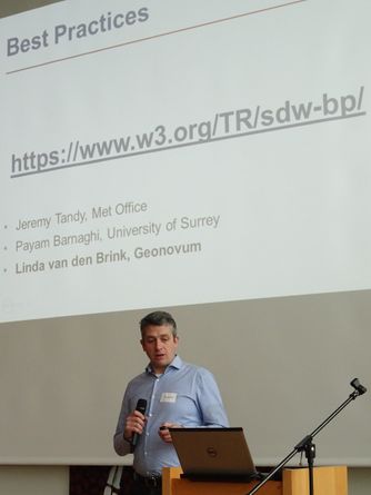
Please check the Spatial Data on The Web Best Practices:
https://www.w3.org/TR/sdw-bp/ and provide feedback and more examples
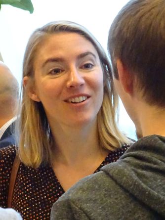
And more good discussions during the last break
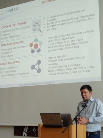
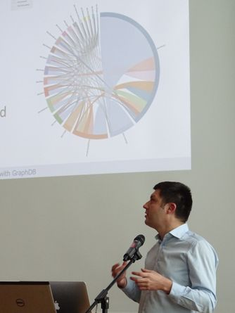
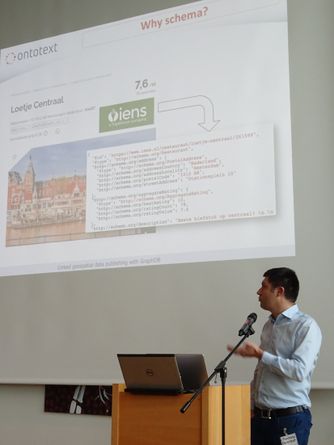
Vassil Momtchev (Ontotext) about Linked geospatial data publishing with GraphDB
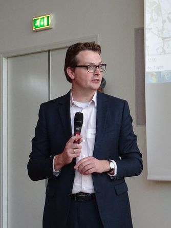
Another announcement by Erwin Folmer (Kadaster)
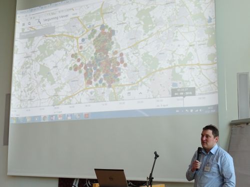
Dimitri van Hees (ApiWise) demo-ing csWeb (Common Sense Web application)

Peter de Laat (GoUnitive) about Linked Data interaction challenges and a solution
UX Challenge Award Winners[bewerken]
Go to the top of the page

Bart-Jan de Leuw (CGI) about the Buying a House challenge

Bart-Jan de Leuw (CGI), Gerard Persoon (Gpersoon BV) and Saskia van der Elst (Ordina Vision Works) demo-ing the Funda extension, which you can use for interactively exploring a neighborhood
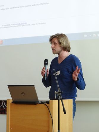
Laurens Rietveld (VU Amsterdam/Triply) about the YASGUI extension to visualize Geo Linked Data on a map using SPARQL queries and the available coordinates in the datasets used
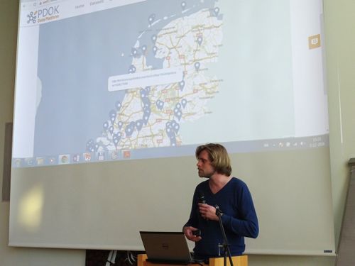
Laurens Rietveld (VU Amsterdam/Triply) demo-ing the new YASGUI functionality, which will also be available in PDOK
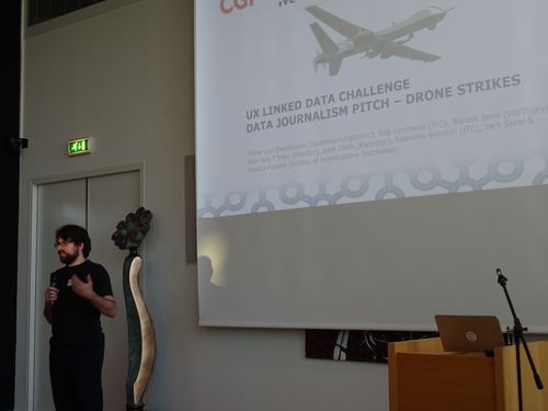
Wouter Beek (VU Amsterdam/Triply) introducing the Data Journalism challenge
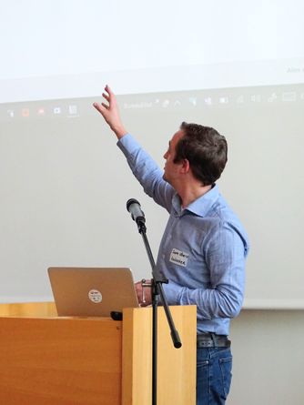
Sam Ubels (Kadaster) demo-ing the serverless Data Journalism Linked Data solution after the introduction by Rein van ‘t Veer (VU Amsterdam/Geodan)

Rob Lemmens (University of Twente – ITC) demo-ing the Space-Time-Cube (STC) possibilities for Data Journalism

The winner of the UX Linked Data Challenge: The Data Journalism Team (with 44 votes from the audience)
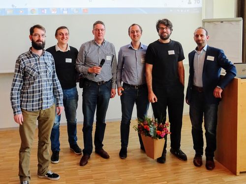
The Data Journalism team: fltr Rein van ’t Veer (VU Amsterdam/Geodan), Stanislav Ronzhin (University of Twente - ITC), Pieter van Everdingen (Geonovum/OpenInc), Sam Ubels (Kadaster), Wouter Beek (VU Amsterdam/Triply), Rob Lemmens (University of Twente - ITC)
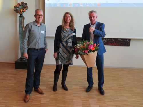
Second prize: The Buying a House Team (with 15 votes from the audience). Fltr Gerard Persoon (Gpersoon BV), Saskia van der Elst (Ordina Vision Works) and Bart-Jan de Leuw (CGI)
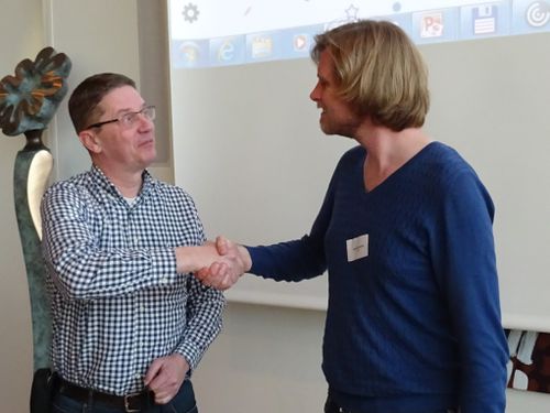
Third prize: The Environmental Act Team (with 11 votes from the audience) with their YASGUI extension

We got very positive feedback from the audience after the event
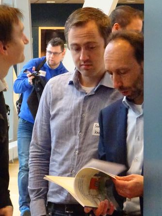
For every participant we had a PLDN Linked Data Pearls book available.
This book is also online available at: Gems of Dutch Linked Data Applications
Go to the top of the page
Back to main page
Pictures: Pieter van Everdingen


